UAV Solution
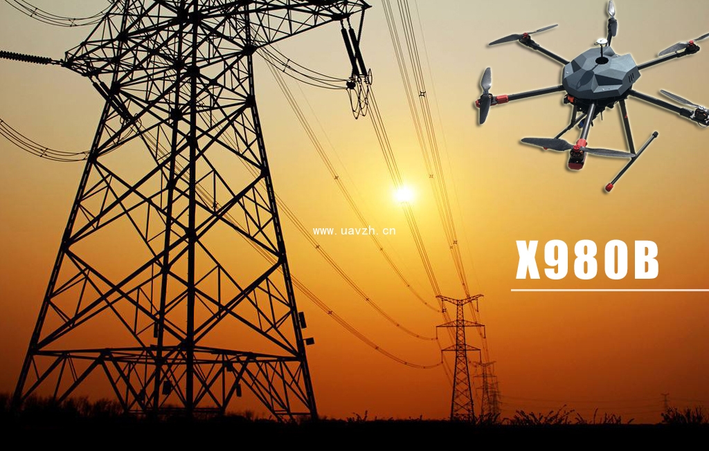
Electricity inspection
Equipped with HD digital cameras, cameras and GPS positioning system,
UAV can be positioned along the grid independent cruise,
real-time transmission of shooting images,
monitoring personnel can be synchronized on the computer to watch and control.
——
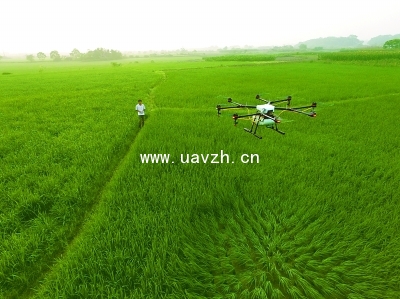
Agricultural plant protection
The UAV, which use of integrated high-definition digital cameras, spectrometers,
thermal infrared sensors and other devices, flight on the farm to accurately measure the area of hte plot,
the collected data can be used to assess the crop risk situation, the insurance rate.
——
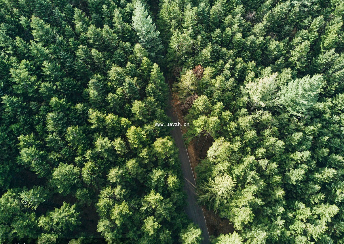
Forestry inspection
UAV is able to solve the detection timely problem that forest fire happened in the remote areas,
where ground patrol can not take into account uav also can grasp accurately and understand timely kinds of dynamic information of the major forest fire scene.
Of cause some problems, for example, some cannot cruise in the night flight,
cannot flight for visibility reduced caused by haze and other issues, can also be resolved.
——
Pipeline inspection line
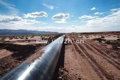
Oil and gas pipeline in the vertical and horizontal directions provide an important energy for the national economy and the daily life of residents.
In order to ensure the safety of energy transmission, they must be regularly inspected.
But the traditional manual inspection to spend more manpower and time, the operation is difficult, low efficiency, high risk. The UAV technology in the pipeline transportation application, largely to circumvent and these hidden dangers.
——
The question of the right
Form the rural land disputes to the two countries of the territorial dispute.
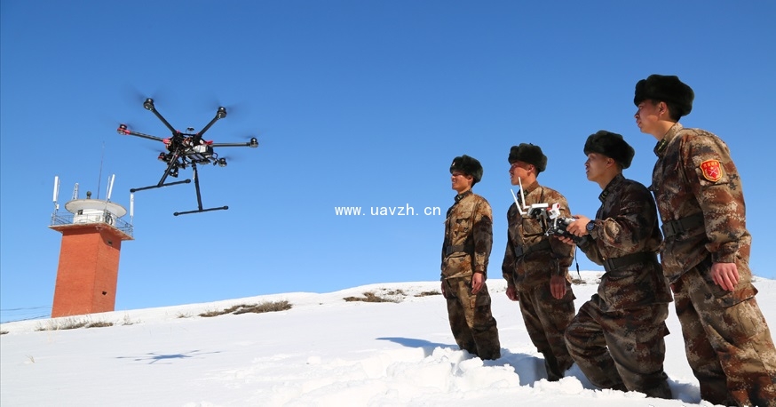
UAV can go into battle for aerial photography.
In some countries, the issue of border ownership is also related to different races, deploying UAV to collect boundary data, which could effectively avoid potential social conflicts.
——
Resource explore ration
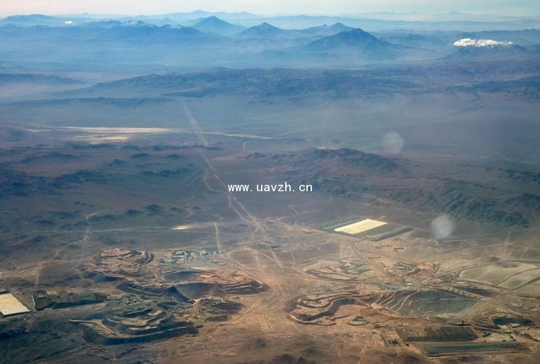
Unmanned aerial vehicles used in land mineral exploration mineral resources, the State Oceanic Administration and the State bureau of surveying and mapping can be investigated.
Surface water and shallow groundwater resources exploration geological disaster warning natural disaster and ecological environment assessment, typical city survey, key project site selection, land resources detection and investigation project, mineral resources evaluation project land and resources exploration and application planning and management, protection and rational use.
——
Post-disaster relief
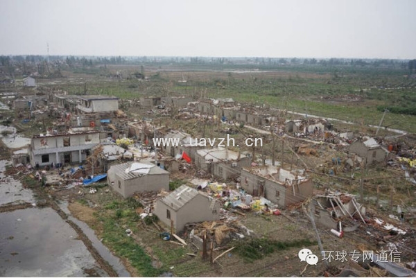
UAV with rapid movement, has completed 100000 square kilometers of aerial photography just in taking-off to landing 7 minutes, it is of great significance for disaster relief work against time.

